Manx Mountain Marathon and Half Marathon Race Routes
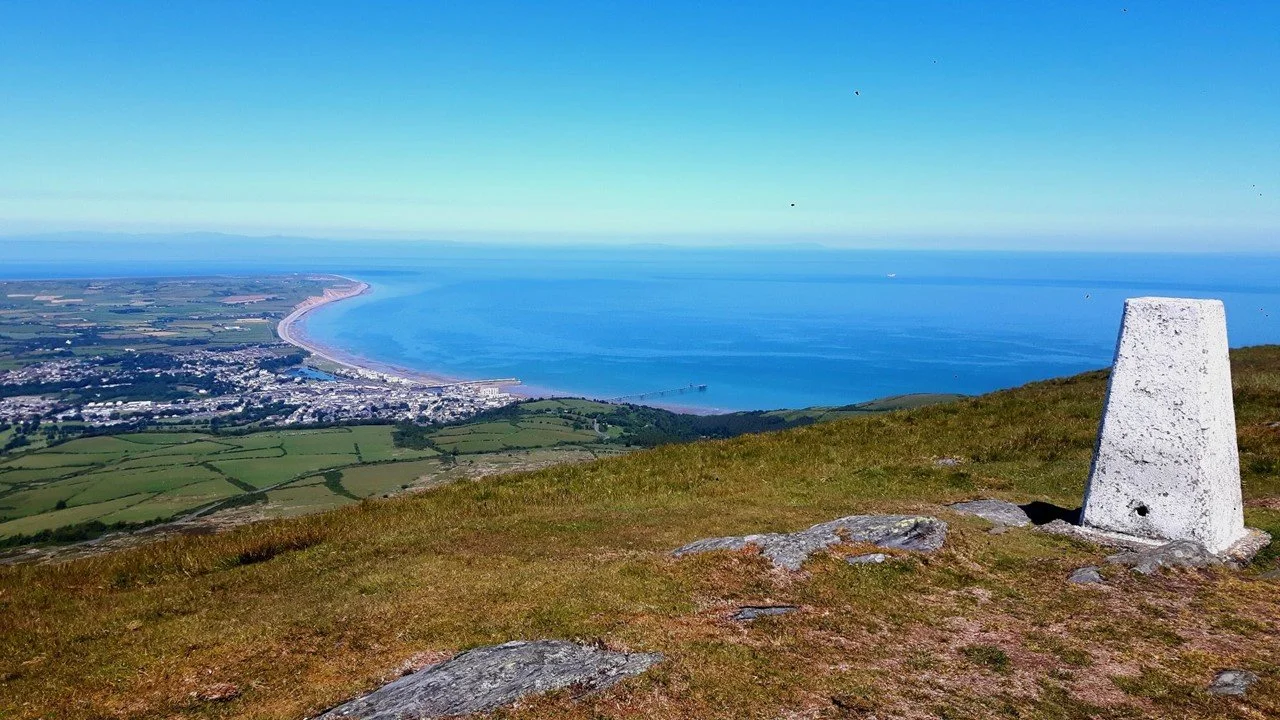
North Barrule looking back to the start
Distance – just under 50 km for the full race, and just under 22km for the half (minor changes to the finish route may affect the exact distance).
Ascent 2600m (full), 1100m (half)
Category A/superlong (full), B/long (half)
Download full MMM North section route map
Download full MMM South section route map
Download half Manx Mountain Marathon route map
Access and navigation Most of the route is unmarked, navigation is required using map and compass. The following sections are on private land and access is only allowed on race day.
over Carraghan hill, through Injebreck farm, and the field leading to the Injebreck River
Kerrow ny Glough farm (from the Greeba mountain wall to Greeba bridge).
from the Slieau Whallian right of way track through Carnagrie farm to Garey Gate.
Race Route Description
The half distance race covers the second part of the full marathon course (from St Johns), with both races finishing in Port Erin.
Compulsory sections are in bold. Failure to observe these will mean disqualification. These sections will be flagged or marshalled on race day. Unmanned controls (where you need to punch) and manned safety controls are numbered separately.
Manx Mountain Marathon route
Start: corner of Market Place and Dale St, Ramsey (GR. 453943, google map).
From Market Place, turn right at Queens promenade, continue along the A2 road to and right into Ballure reservoir road GR 456935. Cross over dam wall and take left trail to old Douglas track (Hibernian greenway path). Ascend to the junction with the Rhowin Rd at GR 456922. From the Rhowin road proceed through fields to gate at GR 453917 (behind Dreemlang house) – do not climb over the mountain wall. Ascend to North Barrule summit unmanned control (1) GR 444909
Run south along ridge to most southerly cairn on Clagh Ouyr unmanned control (2) – GR 415889
Descend on flagged route to the mountain road. Cross at the marshal’s position at Black hut Manned Safety Control. Ascend to Snaefell unmanned control (3) – GR 398882
Descend southerly to the bungalow manned safety control (1) (drinks) - GR 396866.
Go over stile and follow fence parallel to the Mountain Road as far as the Brandywell road. Do not run on the Mountain road. ascend to Beinn-y-Phott summit unmanned control (4) – GR 383860.
Heading south, cross the millennium way using the gate (do not climb over the wall), then ascend to the most southerly cairn on Carraghyn summit unmanned control (5) – GR 369849.
Descend to the west keeping right of the plantation, go through the flagged gate, cross the stream then follow the flags to Injebreck Farm manned safety control (2) (drinks) – GR 355847
Cross road into field, follow the flagged route to cross stream, ascend to Colden summit unmanned control (6) – GR 343844.
Head south west skirting Lhergee Ruy. ascend to Slieau Ruy unmanned control (7) – GR 328824.
Follow west/south dog leg on ridge path to Greeba summit unmanned control (8) – GR 317817.
Follow the flagged route WSW from the summit, over mountain wall and through Kerrow-ny-Glough farm to Greeba bridge. manned road crossing. safety control (3) (drinks) – GR 301810.
West along peel road to the marshal at Ballachurry road. down Ballachurry Rd then west along the old railway line track, to the car park in St Johns
Cross to the Patrick Road A40 at marshal’s instruction, enter Slieau Whallian plantation and ascend following flags. Follow the ridge to Slieau Whallian summit unmanned control (9)
Descend SW to track then follow flagged route through Carnagrie farm to Garey Gate manned safety control (4) (drinks) - GR 255792
Turn left at Garey Gate following road past Rushen mine. Cross A36 Round Table Road at marshal’s instruction. From the kissing gate ascend to South Barrule summit unmanned control (10)
Descend south on path, branching off right towards the Round Table x-roads manned checkpoint (5) (drinks) –GR 246758
Follow path through Cronk Fedjag to W of Round Table Road, through two kissing gates at GR 233747 and ascend to Cronk ny Arrey Laa unmanned control (11) – GR 224746
Descend on public footpath to Sloc Rd manned safety control (6) (drinks) – GR 217734
At the Sloc follow the flags onto the Raad ny Foillan path to ascend to Lhiatee ny Beinee unmanned control (12) – GR 212728
Continue on the public footpath to descend to Fleshwick Bay. Turn left to safety check located on road - Fleshwick manned safety control (7) GR 201713
Ascend public footpath passing by Bradda cairn – GR 197715
Follow coastal path with caution. Near Bradda tower follow flagged section along paths to finish at the Bradda Glen Cafe - GR 195697.
Cut Off Times: Black Hut 2 hrs, Bungalow 2 hrs 30 min, Injebreck 3 hrs 45 min, Greeba Bridge 5 hrs 15 min, Round Table 7 hrs 30 min, Sloc 8 hrs 30 min, Finish 10 hrs.
Half Manx Mountain Marathon route
Note that the numbering of unmanned controls (punches) begins at 9 to be consistent with the full MM numbering
Start: Slieau Whallian Rd (gr.277815, google maps) short walk from registration area in the Station Rd car park St Johns (next to St Johns Primary School).
enter Slieau Whallian plantation and ascend following flags. Follow the ridge to Slieau Whallian summit unmanned control (9)
Descend SW to track then follow flagged route through Carnagrie farm to Garey Gate manned safety control (4) (drinks) - GR 255792
Turn left at Garey Gate following road past Rushen mine. Cross A36 Round Table Road at marshal’s instruction. From the kissing gate ascend to South Barrule summit unmanned control (10)
Descend south on path, branching off right towards the Round Table x-roads manned checkpoint (5) (drinks) –GR 246758
Follow path through Cronk Fedjag to W of Round Table Road, through two kissing gates at GR 233747 and ascend to Cronk ny Arrey Laa unmanned control (11) – GR 224746
Descend on public footpath to Sloc Rd manned safety control (6) (drinks) – GR 217734
At the Sloc follow the flags onto the Raad ny Foillan path to ascend to Lhiatee ny Beinee unmanned control (12) – GR 212728
Continue on the public footpath to descend to Fleshwick Bay. Turn left to safety check located on road - Fleshwick manned safety control (7) GR 201713
Ascend public footpath passing by Bradda cairn – GR 197715
Follow coastal path with caution. Near Bradda tower follow flagged section along paths to finish at the Bradda Glen Cafe - GR 195697.
Cut Off Times: Round Table 2 hrs 30 min, Sloc 3 hrs 30 min, Finish 5 hrs.

